12 Facts About Georgia’s Climate You May Not Know
One Country, Several Climates
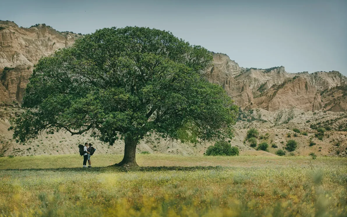
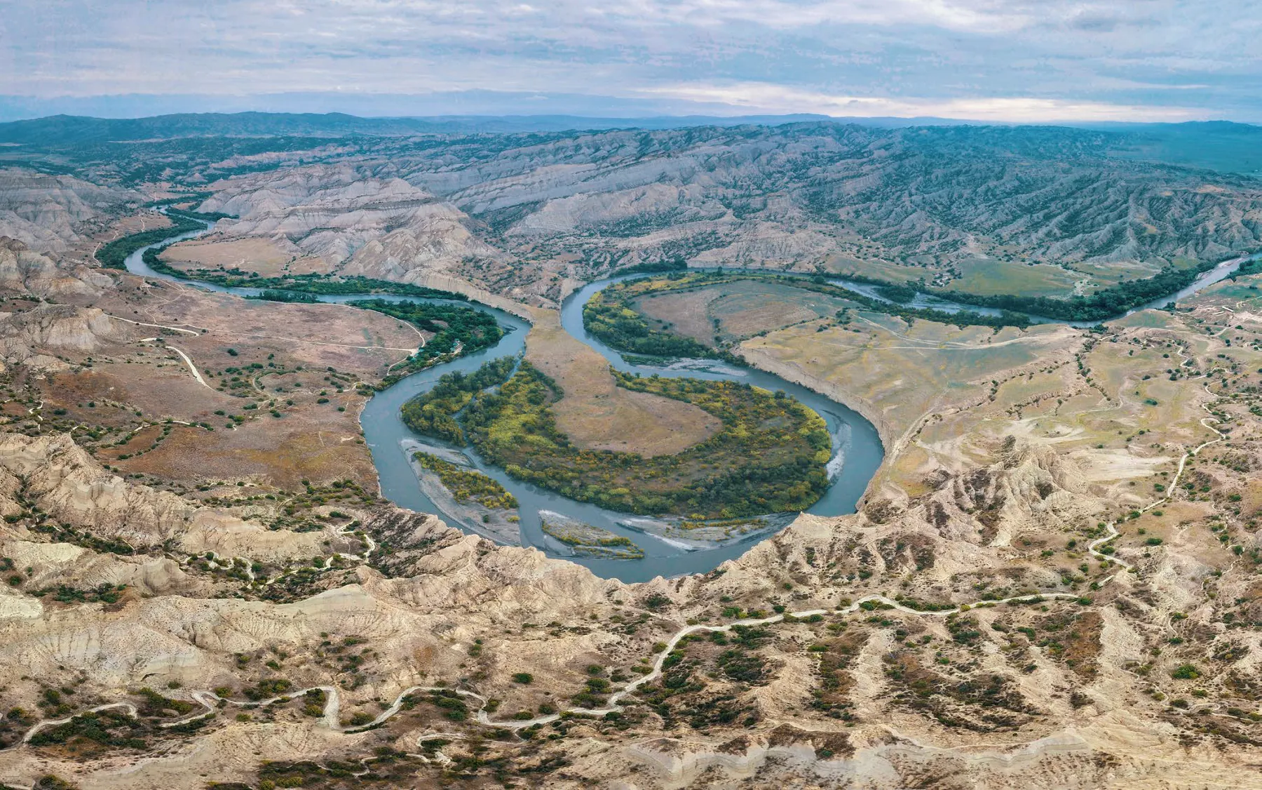
Georgia may not look particularly large on a map, but its climatic diversity is remarkable for a country of its size. The humid Black Sea coast, the dry plains of eastern Georgia, the rain-soaked forests of Colchis, the harsh winters of Javakheti, and the snow-covered peaks of the Caucasus all exist within the borders of a single country.
According to Georgia’s National Environmental Agency, almost every major type of climate is represented within the country’s relatively small territory, with the exception of savanna and tropical rainforest climates. Even more striking is the fact that, in some places, the distance between humid subtropical and permanent glacial zones is just 70–80 kilometers.
Here are 12 facts that may change the way you think about Georgia’s climate.
1. In Georgia, You Can Travel From the Seaside to Snowy Mountains in Just a Few Hours
Traveling through Georgia means watching not only the landscape change, but the climate as well. From the Black Sea coast to the country’s high mountain regions, elevation rises rapidly, temperatures fall, and natural conditions gradually transform.
This means that a single journey can take you through completely different environments, from the humid sea air and forested foothills to alpine meadows and, eventually, snow-covered peaks. This climatic diversity can be one of the most unexpected discoveries for first-time visitors to Georgia.
2. In Some Parts of Georgia, Humid Subtropical and Glacial Climates Are Just 70–80 Kilometers Apart
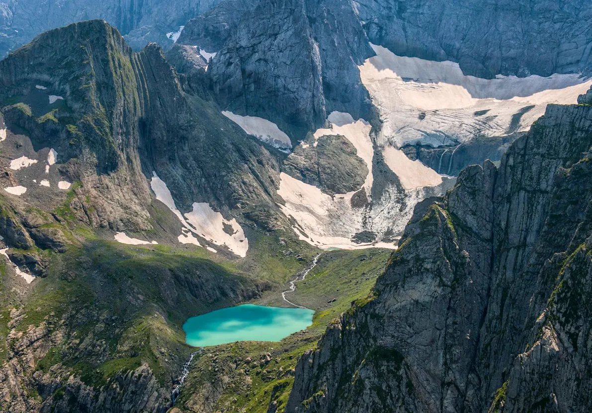
This is one of the most striking facts about Georgia’s climate. On one side, there may be a humid subtropical environment shaped by the influence of the Black Sea. On the other, a high-altitude landscape of permanent snow and ice.
According to Georgia’s National Environmental Agency, the direct distance between such contrasting climate zones can be as little as 70–80 kilometers in some parts of the country. Georgia’s complex terrain, the influence of the Black Sea, and the Caucasus mountain ranges all contribute to this extraordinary contrast.
3. Georgia’s Annual Precipitation Ranges from 400 to 4,500 Millimeters
The amount of precipitation Georgia receives varies dramatically from one part of the country to another. According to official data, annual precipitation in some of the driest areas is around 400 millimeters, while the wettest parts of western Georgia receive approximately 4,500 millimeters.
This enormous difference illustrates just how distinct the climates of eastern and western Georgia can be. In the west, moisture-laden air from the Black Sea, combined with mountainous terrain, contributes to abundant precipitation, while eastern Georgia has a considerably drier climate.
4. Mount Mtirala Really Is One of the Rainiest Places in Georgia
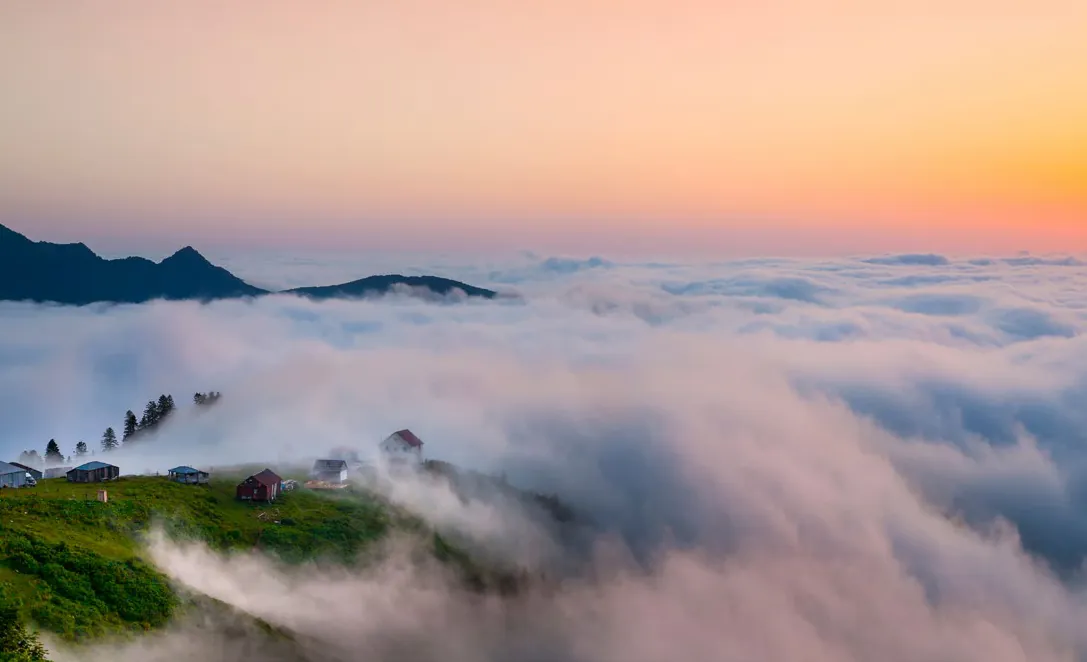
The name Mtirala, meaning “crying” or “weeping” in Georgian, may sound poetic, but there is a very practical reason behind it. This mountainous area of Adjara receives exceptionally high levels of precipitation, with various official sources putting the annual figure at approximately 4,250–4,500 millimeters.
Humid air, frequent cloud cover, and abundant rainfall create a distinctive microclimate here. These conditions have shaped Mtirala’s humid Colchic forests, creating a natural environment that feels entirely different from many other parts of Georgia.
5. The Black Sea Is One of the Main Architects of Western Georgia’s Climate
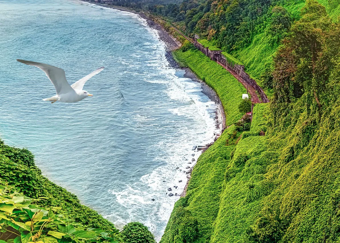
For Georgia, the Black Sea is much more than a coastline and a maritime landscape, it plays a major role in shaping the climate of the western part of the country.
The sea helps moderate sharp temperature fluctuations while supplying the atmosphere with large amounts of moisture. When this moisture-laden air encounters the mountains, it contributes to abundant precipitation. This is one of the main reasons the climate of western Georgia differs so significantly from that of the east.
6. The Caucasus Acts as a Natural Climate Barrier for Georgia
The other major force shaping Georgia’s climate is the Caucasus. Rising along the country’s northern frontier, this vast mountain system has a significant influence on the movement of air masses and partially protects Georgia from direct incursions of cold air from the north.
Georgia’s climate, therefore, cannot be explained by geographical location alone. The sea and the mountains work together to create a complex natural system that allows remarkably different climatic conditions to exist within a single country.
7. Eastern Georgia Even Has Semi-Desert Conditions
When people think of Georgia, green forests and snow-covered mountains often come to mind. Yet parts of eastern Georgia present a completely different picture.
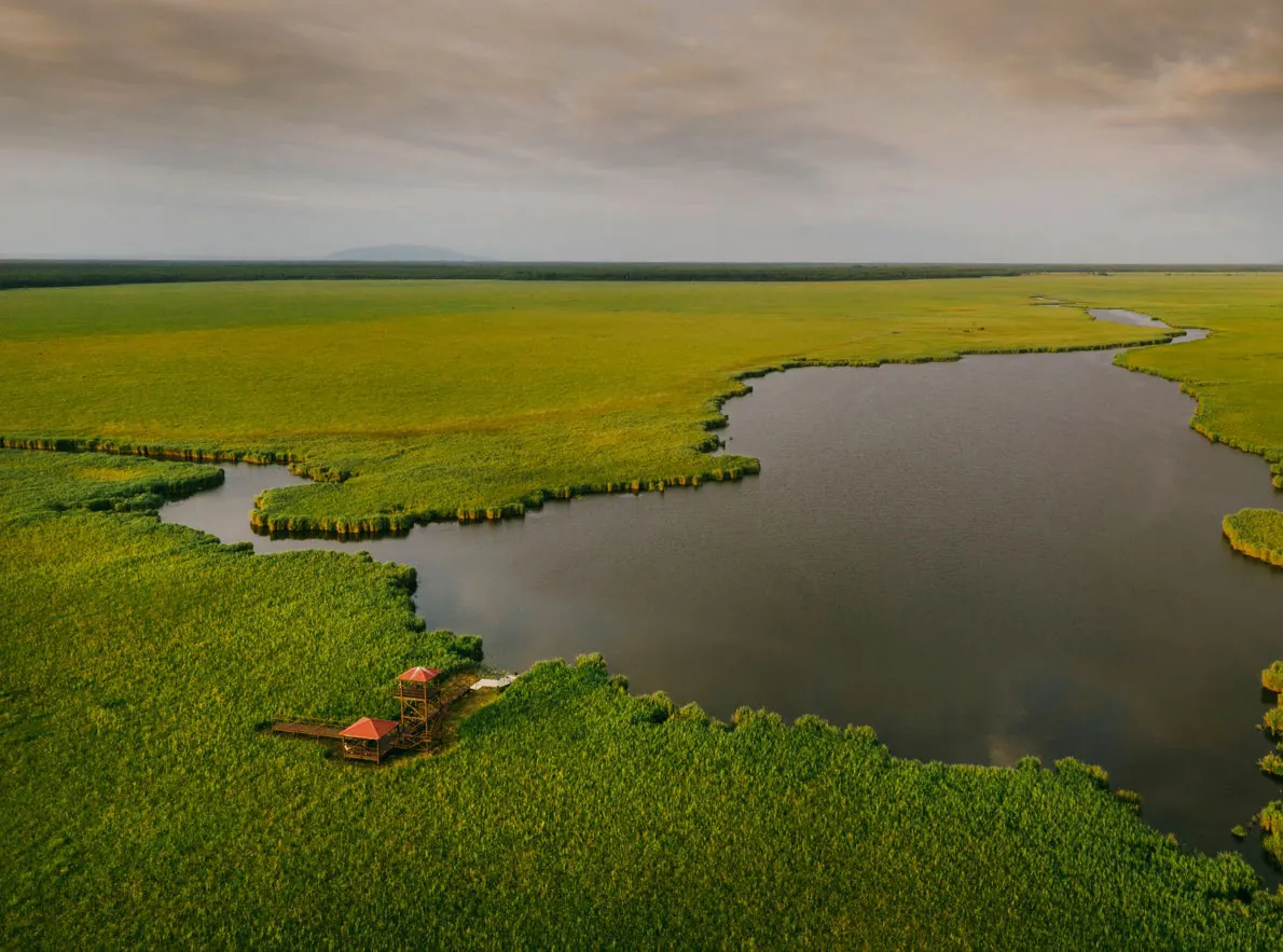
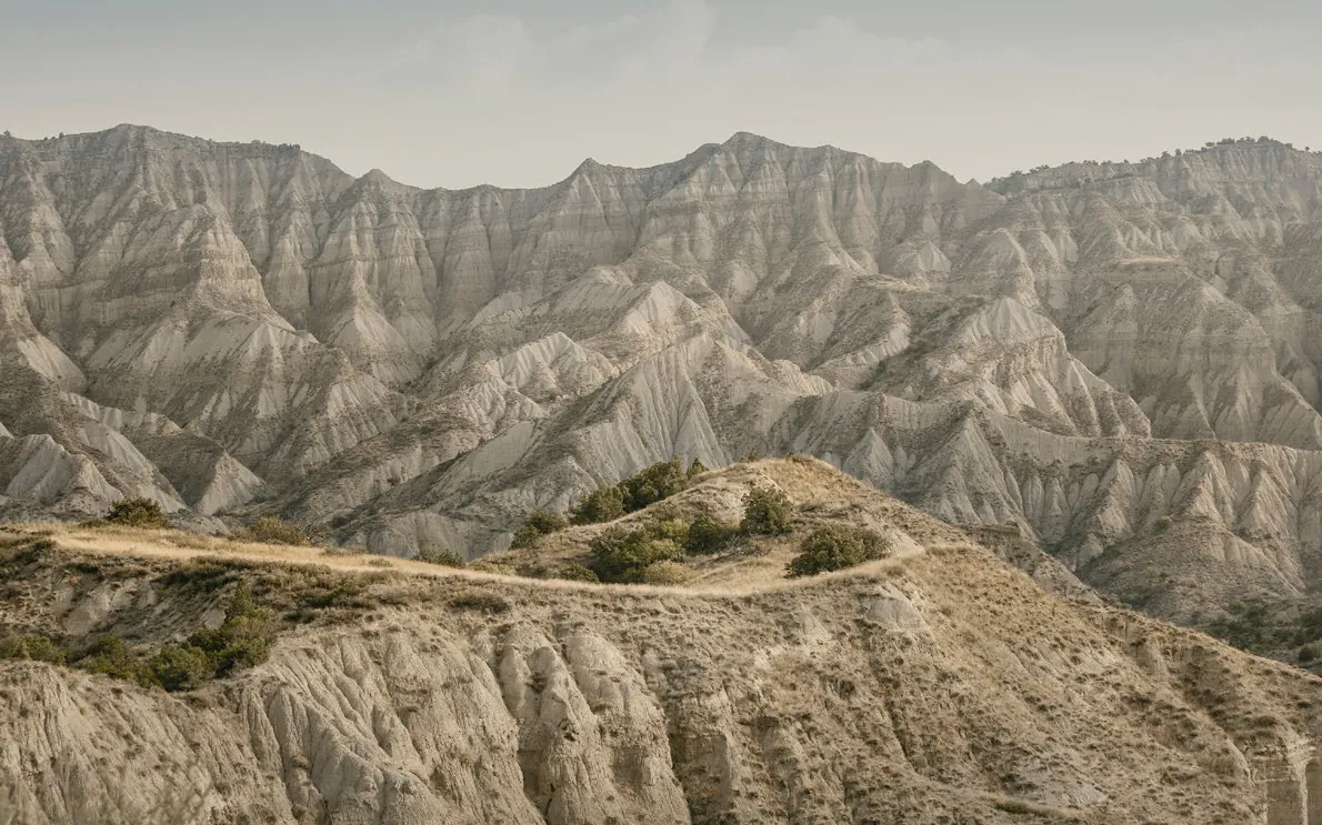
According to Georgia’s meteorological service, the country’s climate zones, when classified by precipitation, range from semi-desert conditions, with annual precipitation below 400 millimeters in some areas, to humid subtropical environments. This helps explain why some landscapes in eastern Georgia have a much drier and more austere character than the lush scenery of the west.
8. Kakheti Is More Than a Land of Sunny Vineyards
Mention Kakheti and the first images that probably come to mind are vineyards, the Alazani Valley, and sunny autumn days. Yet even within this single region, climatic differences can be dramatic.
Just a few hours from the relatively warm conditions of the Alazani Valley lie the highlands of Tusheti. Tusheti extends across elevations of approximately 2,000 to 4,500 meters, and winter there lasts for five to six months. Clearly, there is no single, uniform “Kakheti climate.”
9. The Javakheti Plateau Has Some of Georgia’s Harshest Winters
The Javakheti Plateau in southern Georgia provides another striking example of the country’s climatic contrasts. Winters here are long and severe, with the plateau’s elevation having a particularly strong influence on weather conditions.
Georgia’s official tourism portal notes that an absolute minimum temperature of −40°C has been recorded on the Javakheti Plateau. The figure is a powerful illustration of just how dramatically winter conditions can differ across Georgia.
10. As Elevation Increases, Georgia’s Climate Changes with It
As you climb into the mountains, it is not only the scenery that changes. With increasing elevation, temperatures fall, while the form and amount of precipitation, vegetation, and the duration of snow cover change as well.
This altitudinal zonation creates a succession of distinct natural environments in Georgia’s mountains. Traveling from the lowlands into the high mountains, you can pass through several different climatic and landscape zones without ever leaving the country.
11. Georgia’s Climate Is Not What It Was a Few Decades Ago
Climate is not static. Georgia’s official environmental documents indicate that the country’s average annual temperature increased during 1986–2015 compared with the period from 1956 to 1985. Over the same period, annual precipitation showed an increasing trend in western Georgia and a decreasing trend in the east.
More recent assessments also point to a warming trend. A comparison of the periods 1961–1990 and 1991–2020 shows an increase of almost 1°C in Georgia’s average annual temperature. This is no longer simply a statistical shift. Climate change is also affecting the natural environment, including glaciers, water resources, and risks associated with extreme weather.
12. Georgia’s Climate Map Is Far More Diverse than the Country’s Size Might Suggest
Perhaps the most fascinating conclusion is this: within Georgia’s small territory, humid subtropical environments, dry and semi-dry landscapes, moderately humid mountain regions, alpine zones, and areas of permanent snow and ice can all exist remarkably close to one another.
This diversity is shaped by several forces acting together: Georgia’s geographical location, the Black Sea, the Caucasus, and the country’s exceptionally complex terrain. Georgia may look small on a map, but in climatic terms, its scale feels much greater.
That is why traveling through Georgia can sometimes feel like crossing several different natural worlds within a single country. You can be standing on the seashore in the morning and looking up at snow-covered mountains just a few hours later.
Georgia may be a small country, but its climate tells a much bigger story.